Explore Quizzes

Decoding the Language of Weather Symbols
From sunshine to snowstorms, weather symbols provide a visual shorthand for understanding the atmospheric conditions around us. These icons can be found on weather maps, apps, and forecasts, offering a quick and easy way to grasp the current and predicted weather.
This guide will decode the language of weather symbols, empowering you to interpret weather information like a pro!
Sunny Skies and Beyond: Common Weather Symbols
- ☀️ Sunny: A bright yellow sun represents clear skies and sunshine.
- ☁️ Cloudy: A simple cloud icon indicates cloudy conditions, with varying degrees of cloud cover.
- 🌧️ Rainy: A cloud with raindrops signifies rain, often with different intensities represented by the number or size of raindrops.
- ❄️ Snowy: A snowflake icon represents snowfall, with heavier snowfall often depicted by larger snowflakes.
- ⛈️ Thunderstorms: A cloud with a lightning bolt symbolizes thunderstorms, which can be accompanied by heavy rain, hail, and strong winds.
- 🌬️ Windy: A weather vane icon or stylized lines indicating wind direction represent windy conditions.
Beyond the Basics: Additional Symbols
- 🌫️ Fog: A cloud with two parallel lines beneath it represents foggy conditions, indicating reduced visibility.
- 🌨️ Wintery Mix: A cloud with both raindrops and snowflakes indicates a mix of precipitation, including rain, snow, sleet, or freezing rain.
- 🌡️ Temperature Extremes: A thermometer icon often signifies extreme temperatures, either very hot or very cold.
- 💧 Humidity: A water droplet icon sometimes represents humidity levels, indicating the amount of moisture in the air.
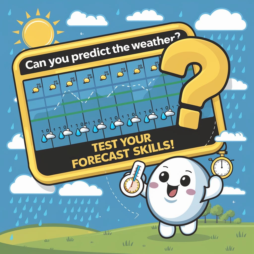
Understanding Chance of Precipitation
Weather forecasts often include a "chance of precipitation" percentage. This represents the probability of any measurable precipitation occurring in a specific area during a given time period. For example, a 50% chance of rain means there is a 50% likelihood of measurable rain occurring.
Weather Maps and Symbols: A Visual Guide
Weather maps often utilize a variety of symbols to depict atmospheric conditions. Common features on weather maps include:
- High and Low Pressure Systems: "H" and "L" symbols indicate high and low pressure systems, respectively. High pressure systems are generally associated with clear skies and calm weather, while low pressure systems can bring clouds, precipitation, and winds.
- Fronts: Lines with different symbols (triangles, semicircles) represent weather fronts, which mark the boundaries between different air masses. Cold fronts are associated with cooler temperatures and sometimes bring storms, while warm fronts can bring warmer temperatures and lighter precipitation.
Become a Weather Symbol Savvy!
By familiarizing yourself with common weather symbols, you'll be able to quickly and easily interpret weather information from a variety of sources. Whether you're checking a weather app, watching a forecast on TV, or studying a weather map, you'll be able to understand the language of the skies!
Fun Facts About weather-symbols
Weather Symbol Fun Facts:
- The sun symbol ☀️ is one of the most universally recognized weather symbols.
- The cloud symbol ☁️ can represent various cloud types and conditions.
- The lightning bolt ⚡️ symbolizes thunderstorms and electrical activity.
- The snowflake ❄️ is a common symbol for snow, often varying in size to indicate intensity.
- The rain symbol 🌧️ can be depicted with varying numbers of drops to represent light or heavy rain.
- The wind symbol 💨 often takes the form of a stylized arrow or weather vane.
- The fog symbol 🌫️ is typically represented by a cloud with horizontal lines beneath it.
- Weather symbols have evolved over time as technology and meteorology have advanced.
- Animated weather symbols on apps and websites use sophisticated algorithms to visualize weather patterns.
- Learning to read weather symbols can enhance your understanding of weather forecasts and make you a more informed observer of the atmosphere.
Frequently Asked Questions
Weather Symbol FAQ:
1. Are weather symbols universal? Some are widely recognized, but there can be regional variations.
2. Why are weather symbols used? They provide a quick, visual way to convey information, crossing language barriers.
3. How do I learn to interpret weather symbols? Reference guides and weather app explanations can help you decipher them.
4. Are there symbols for all weather conditions? Common ones are standardized, but less frequent events might have variations.
5. Why are some symbols animated on weather apps? Animation shows movement of fronts, storms, or precipitation for better visualization.
6. What do the colors on weather maps represent? Color scales typically indicate temperature, precipitation intensity, or radar data.
7. Why are percentages used with some weather symbols? Percentages indicate the likelihood (probability) of a specific event occurring.
8. How accurate are weather symbols in predicting the future? They are based on forecasts, which have varying levels of accuracy depending on timeframes.
9. Why do weather symbols sometimes change during the day? Forecasts are updated as new data becomes available, leading to symbol adjustments.
10. Where can I find a comprehensive guide to weather symbols? Meteorological websites, educational resources, and some weather apps offer guides.