What Are Derecho Storms and Why Are They Called 'Inland Hurricanes'?
Explore the power and characteristics of derecho storms, their impacts across the United States, and how climate change might be influencing these 'inland hurricanes'.

I’ve witnessed my fair share of thunderstorms, but nothing quite compares to the raw power of a derecho. These massive, fast-moving storms can sweep across entire states, leaving a trail of destruction that rivals tornadoes and hurricanes. Yet, many people have never heard of them. As a Christian weather enthusiast and educator, I believe it’s crucial to shed light on these “inland hurricanes” and understand their place in God’s intricate weather system.
In recent years, derechos have gained more attention due to their increasing frequency and intensity. A 2020 derecho that ravaged Iowa caused over $11 billion in damages, making it one of the costliest thunderstorm events in U.S. history. But what exactly are these storms, and why are they so destructive?
In this comprehensive guide, we’ll explore:
- The science behind derecho formation
- Why derechos are called “inland hurricanes”
- The impact of derechos across different regions
- How climate change might be influencing derecho frequency and intensity
- Preparedness and safety measures for derecho events
Whether you’re a weather buff, a concerned citizen, or simply trying to understand these powerful storms, this article will provide you with the knowledge to comprehend and prepare for derecho events.
“The voice of the Lord is over the waters; the God of glory thunders, the Lord thunders over the mighty waters.” - Psalm 29:3
Indeed, when a derecho strikes, we’re reminded of the awesome power of nature. Let’s dive in and unravel the mysteries of these inland hurricanes.
What Exactly Is a Derecho?
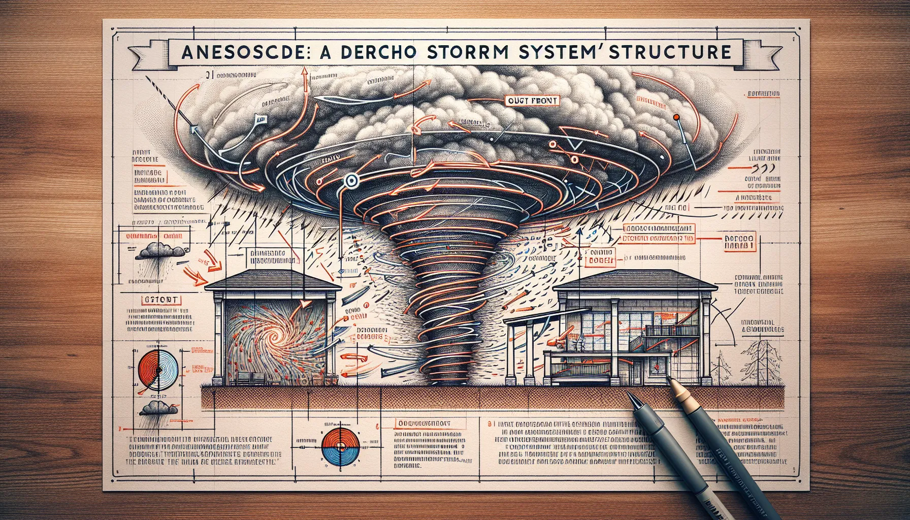
The term “derecho” might sound exotic, but it’s actually Spanish for “straight ahead” or “direct” – an apt description for these straight-line wind storms. Unlike the spiraling winds of a tornado or hurricane, derechos move in a relatively straight path, leaving wide swaths of damage in their wake.
Definition and Characteristics:
A derecho is a widespread, long-lived windstorm associated with a band of rapidly moving showers or thunderstorms. To be classified as a derecho, a storm system must meet specific criteria:
- Wind Damage Extent: Must produce a swath of wind damage at least 400 kilometers (250 miles) long.
- Wind Speeds: Must include wind gusts of at least 58 mph (93 km/h) throughout most of its length.
- Progression: The storm must move forward at a speed of at least 30 mph (48 km/h).
- Time Frame: There should be a concentrated area of convectively induced wind damage or gusts greater than 75 mph (120 km/h) occurring sequentially within the derecho path.
Types of Derechos:
Meteorologists recognize three main types of derechos:
- Progressive Derechos: These form along a cold front in a strong, progressive trough in the upper atmosphere.
- Serial Derechos: These are associated with a deep low pressure system and its attendant cold front.
- Hybrid Derechos: These share characteristics of both progressive and serial derechos.
“He makes clouds rise from the ends of the earth; he sends lightning with the rain and brings out the wind from his storehouses.” - Jeremiah 10:13
This verse beautifully captures the complex atmospheric processes that give rise to powerful storms like derechos.
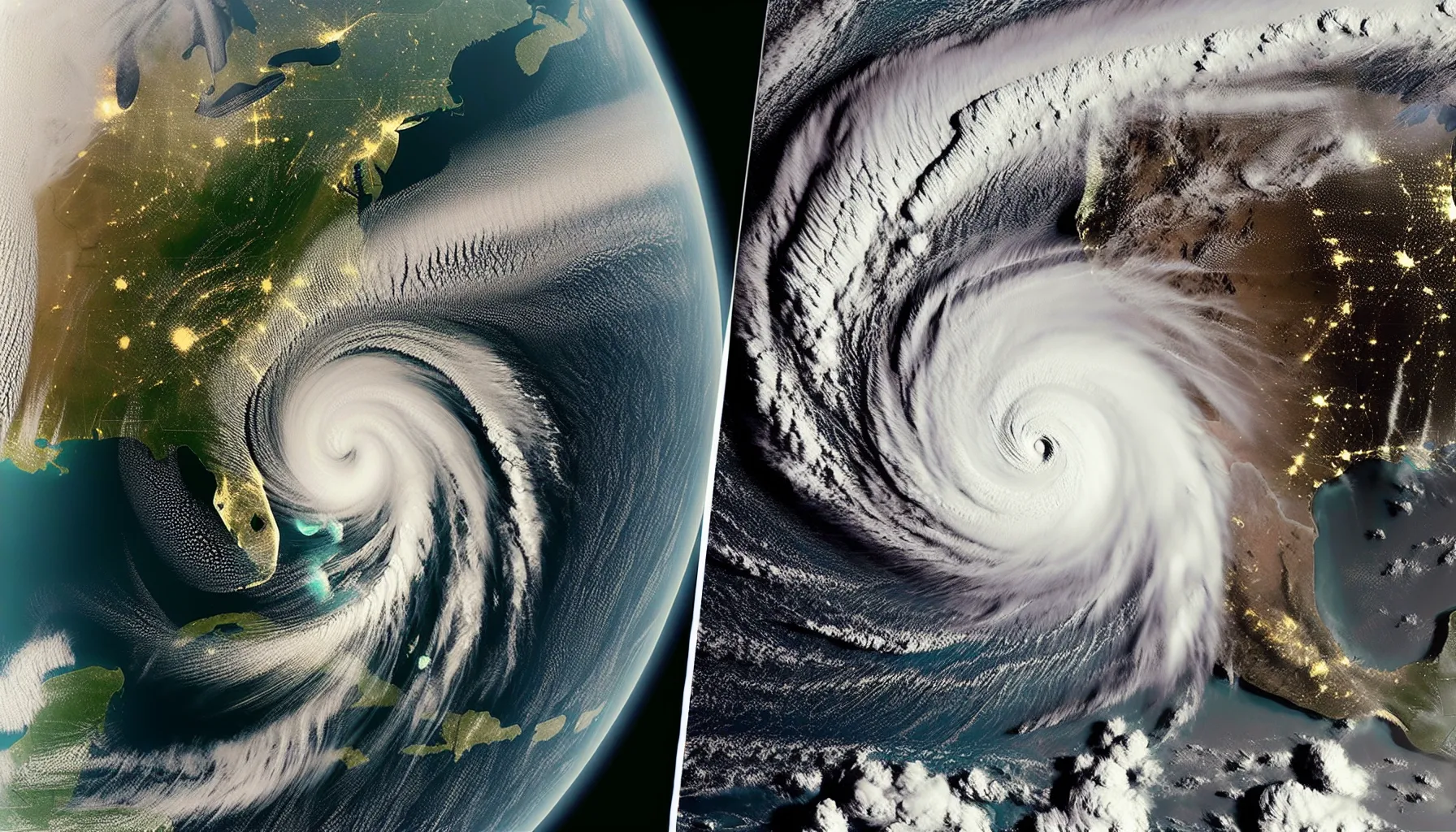
Why Are Derechos Called “Inland Hurricanes”?
The nickname “inland hurricane” for derechos is both apt and potentially misleading. Let’s break down the similarities and differences:
Similarities to Hurricanes:
- Wind Speeds: Both can produce wind gusts over 100 mph.
- Damage Potential: Derechos can cause widespread damage similar to a Category 1 or 2 hurricane.
- Size: Both can affect areas hundreds of miles long and wide.
Key Differences:
- Formation: Hurricanes form over warm ocean waters, while derechos are thunderstorm complexes over land.
- Duration: Hurricanes can last for days; derechos typically last hours.
- Structure: Hurricanes have a circular structure with an eye; derechos are linear or bow-shaped.
- Predictability: Hurricanes can be forecast days in advance; derechos often form with little warning.
For a deeper understanding of how derechos compare to other severe weather events, check out our article on Understanding Weather Forecasts & Meteorology Terms.
The Science Behind Derecho Formation
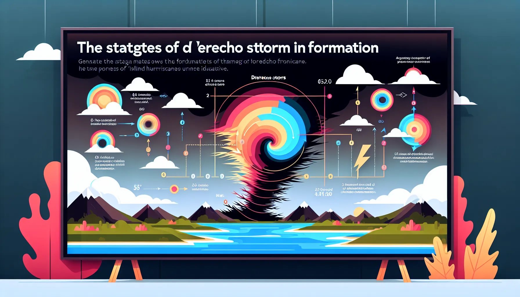
Derechos are complex meteorological phenomena that require specific atmospheric conditions to form. Let’s break down the science:
Key Ingredients:
- Unstable Atmosphere: A layer of warm, moist air near the ground topped by cooler, drier air aloft.
- Wind Shear: Changing wind speed and direction with height.
- Lifting Mechanism: Such as a cold front or areas of low pressure.
Formation Process:
- Initiation: Thunderstorms form as warm air rises rapidly in an unstable atmosphere.
- Organization: Wind shear helps organize these storms into a line or bow shape.
- Cold Pool Development: As rain evaporates, it creates a pool of cold air that spreads out at the surface.
- Gust Front: The leading edge of this cold pool forms a gust front, lifting warm air and fueling new storms.
- Self-Sustaining System: This process continues, allowing the derecho to travel long distances.
Recent research published in the Journal of Atmospheric Sciences (2022) suggests that certain midlevel atmospheric conditions can enhance derecho longevity, allowing some systems to travel over 1000 miles.
Impacts of Derechos Across Different Regions
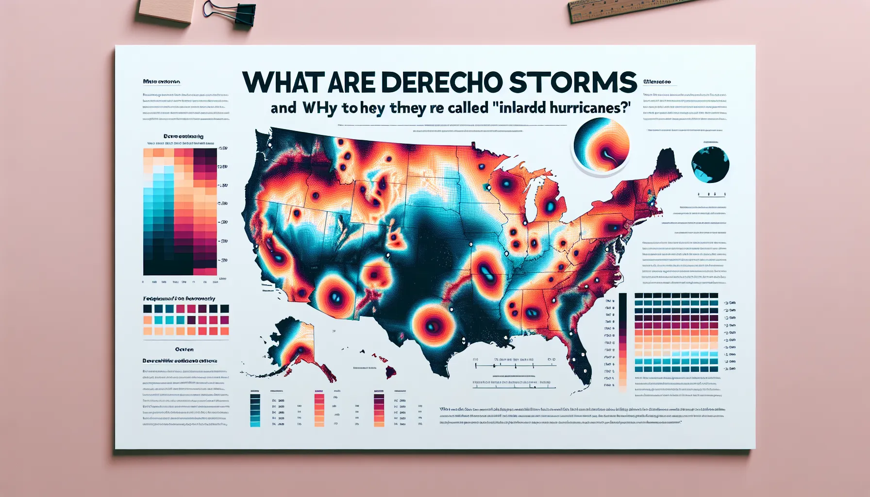
While derechos can occur in many parts of the world, they are most common and well-documented in the United States. Let’s examine their impacts across different regions:
Midwest:
- Frequency: Highest in the U.S., especially in the “Corn Belt” states.
- Notable Event: The August 2020 Midwest derecho caused over $11 billion in damages.
- Agricultural Impact: Can flatten entire corn fields, significantly affecting crop yields.
Mid-Atlantic and Northeast:
- Characteristics: Often associated with extreme heat waves.
- Urban Impact: Downed trees and power lines can cause widespread outages in densely populated areas.
- Notable Event: The June 2012 derecho affected areas from Chicago to Washington D.C., causing $2.9 billion in damages.
Southeast:
- Seasonality: More common in spring and early summer.
- Dual Threat: Can occur in conjunction with tropical systems, compounding damage.
Western United States:
- Rarity: Less common due to atmospheric conditions, but not unheard of.
- Fire Risk: Can exacerbate wildfire conditions due to strong winds and lightning.
Derechos and Climate Change: An Emerging Connection

As with many extreme weather events, scientists are investigating the potential links between derechos and climate change. While research is ongoing, some intriguing connections are emerging:
Recent Research Findings:
Increased Frequency: A 2020 study in the Journal of Climate suggests that the frequency of derecho-producing environments may increase in the future, particularly in the Midwest and Great Plains.
Intensity Changes: Research published in Nature Climate Change (2021) indicates that while overall severe thunderstorm activity might decrease, the most extreme events (including derechos) could become more intense.
Seasonal Shifts: A 2022 paper in Geophysical Research Letters proposes that the peak season for derechos might shift earlier in the year in some regions due to changing temperature patterns.
Factors Influencing Derecho Formation in a Warming Climate:
- Increased Atmospheric Moisture: Warmer air can hold more moisture, potentially providing more fuel for severe storms.
- Changes in Wind Shear: Some models suggest changes in wind patterns that could affect derecho formation and intensity.
- Jet Stream Variations: Alterations in the jet stream’s behavior could influence the frequency and location of derechos.
“He loads the thick cloud with moisture; the clouds scatter his lightning.” - Job 37:11
This verse reminds us of the intricate balance in our atmosphere, a balance that climate change may be altering.
Forecasting and Early Warning Systems for Derechos

Predicting derechos presents unique challenges due to their rapid formation and movement. However, meteorologists have made significant strides in recent years:
Advanced Forecasting Techniques:
High-Resolution Models: The High-Resolution Rapid Refresh (HRRR) model has improved short-term forecasting of severe convective events.
Ensemble Forecasting: Using multiple model runs to assess the probability of derecho formation.
Machine Learning: Emerging AI techniques are being applied to identify patterns that may lead to derecho development.
Early Warning Systems:
- Doppler Radar: Crucial for identifying bow echoes and other signatures of developing derechos.
- Satellite Imagery: Geostationary satellites provide real-time data on atmospheric conditions.
- Mobile Alerts: Systems like Wireless Emergency Alerts (WEA) can provide rapid notifications to affected areas.
Preparing for and Responding to Derecho Events
Given the potential for widespread damage, being prepared for a derecho is crucial. Here are some key steps:
Before the Storm:
- Stay Informed: Keep updated on weather forecasts, especially during hot, humid conditions.
- Secure Outdoor Items: Bring in or tie down anything that could become a projectile in high winds.
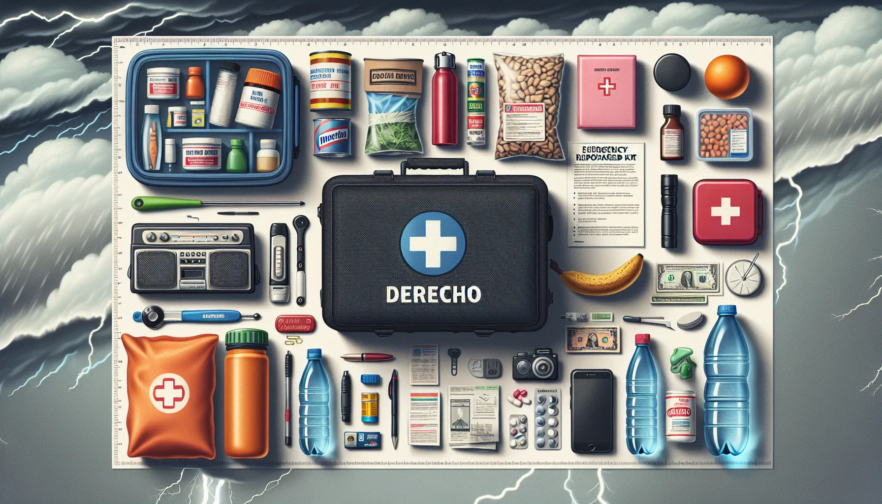
- Prepare an Emergency Kit: Include essentials like water, non-perishable food, flashlights, and a battery-powered radio.
- Plan for Power Outages: Have a plan for medication that requires refrigeration or medical devices that need power.
During the Storm:
- Seek Shelter: Move to an interior room on the lowest floor of a sturdy building.
- Stay Away from Windows: Flying debris can shatter glass.
- Follow Official Instructions: Listen to local authorities for guidance.
After the Storm:
- Check for Injuries: Attend to any injuries and call for help if needed.
- Assess Damage: Be cautious of downed power lines and damaged structures.
- Document Damage: Take photos for insurance purposes.
- Help Your Community: Once safe, check on neighbors, especially the elderly or those with special needs.
“Therefore everyone who hears these words of mine and puts them into practice is like a wise man who built his house on the rock.” - Matthew 7:24
This verse reminds us of the importance of preparation and building our lives on a strong foundation, both spiritually and physically.
Conclusion: Respecting the Power of Nature’s Inland Hurricanes
Derechos, these “inland hurricanes,” serve as a powerful reminder of the awesome forces at work in our atmosphere. As we’ve explored, they are complex, destructive, and often unpredictable weather phenomena that demand our respect and preparation.
Understanding derechos is more than just a meteorological curiosity – it’s a matter of public safety and community resilience. By grasping the science behind these storms, their potential impacts, and the best ways to prepare, we can better protect ourselves and our communities when nature unleashes its fury.
As Christians and stewards of God’s creation, we’re called to both understand and respect the natural world around us. Derechos, with their immense power and far-reaching effects, serve as a humbling reminder of our place within creation and our responsibility to care for it and each other.
The next time you hear a derecho warning, you’ll know exactly what you’re facing and how to respond. More importantly, you’ll be prepared to weather the storm with knowledge, preparedness, and faith.
Stay safe, stay informed, and remember – even in the midst of life’s storms, both meteorological and metaphorical, we can find strength and peace in our faith.
FAQs
Q: How often do derechos occur? A: In the United States, about 1 to 2 derecho events occur annually in any given location in the derecho-prone areas, primarily in the Midwest and Mid-Atlantic regions.
Q: Can derechos produce tornadoes? A: Yes, while not common, derechos can sometimes spawn tornadoes, particularly on their leading edge.
Q: How long does a derecho typically last in one location? A: The intense winds of a derecho usually last from a few minutes up to several hours in any one location.
Q: Are derechos more dangerous than tornadoes? A: While tornadoes can produce more intense localized damage, derechos can cause widespread destruction over a much larger area, making them equally dangerous in different ways.
Q: Can derechos occur at night? A: Yes, derechos can occur at any time of day or night, though they are often most dangerous at night when people may be unaware of approaching severe weather.
Q: How do derechos affect air travel? A: Derechos can cause significant disruptions to air travel, including flight delays and cancellations, due to their strong winds, heavy rain, and potential for hail.
Q: Are some structures more vulnerable to derecho damage? A: Yes, mobile homes, outdated or poorly maintained buildings, and structures with large flat roofs are typically more vulnerable to derecho damage.


